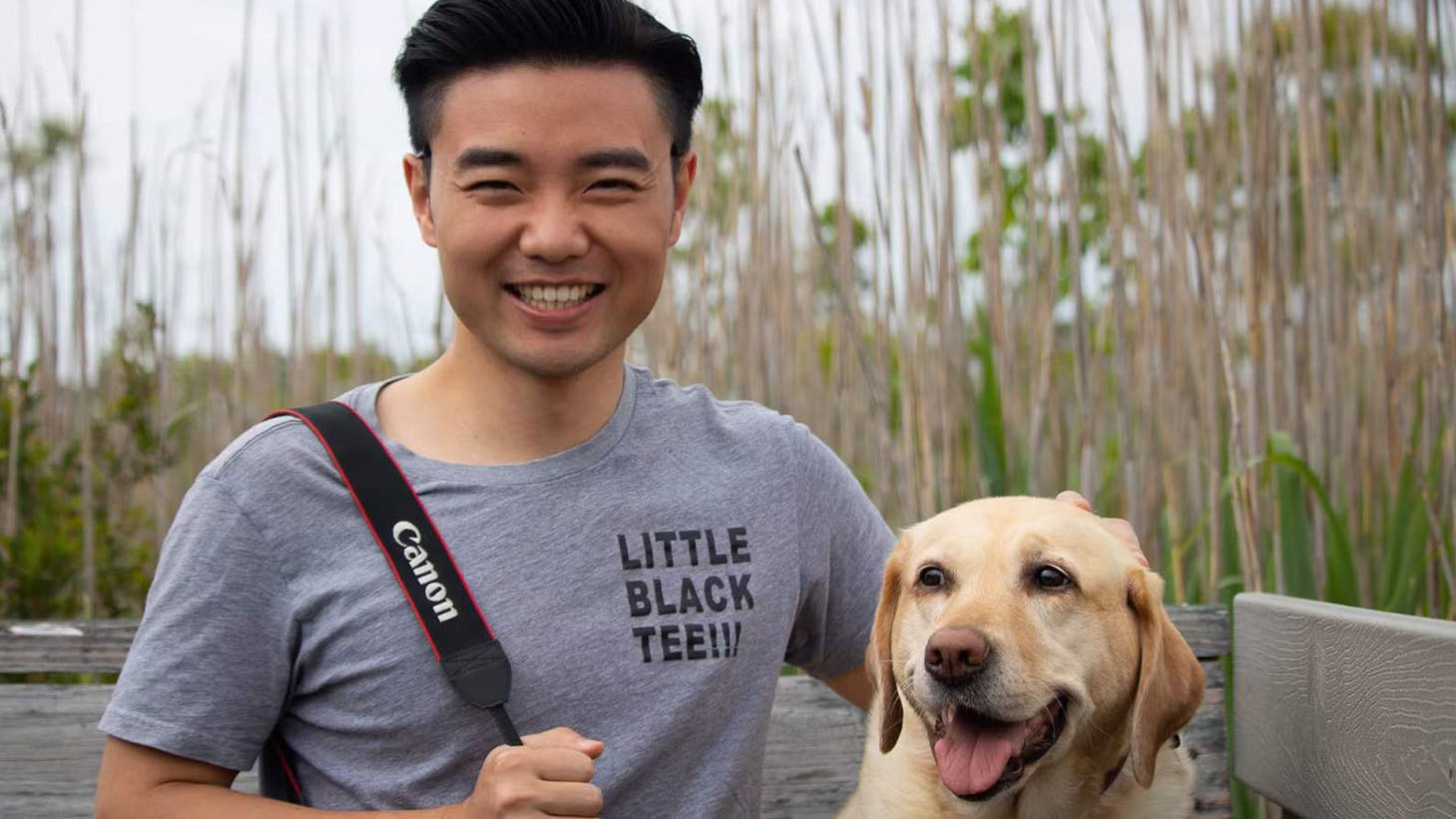
Xiaojie Gao will graduate in December 2023 with a Ph.D. in geospatial analytics. His dissertation focused on how plants change their seasonality according to climate change.
Gao is currently employed as a post-doctoral research fellow at Harvard University where he develops remote sensing technologies using artificial intelligence to improve the monitoring of forest dynamics.
“My research focuses on using remote sensing to monitor large spatial scale vegetation dynamics and understand how they interact with various environmental factors,” Gao said.
We recently spoke with Gao to learn more about his experience at the Center for Geospatial Analytics and how it’s prepared him for success.
What were some of your most memorable experiences at NC State?
There are many good memories. For example, I enjoyed presenting my first poster in the college-level graduate research symposium. The process of shaping my research story, designing the poster, and presenting it with simple language was a nice experience to help me improve. I later presented in the university-level research symposium, which was also fun. I enjoyed participating in lunch-and-learn sessions, which allowed me to learn useful skills from students across cohorts and to make connections with them. And, of course, there were many fun events with friends such as having hotpot parties, hiking, playing sports and hang-gliding.
Did you have a favorite class and/or professor?
My favorite class was, “Geospatial Data Mining,” led by my advisor Josh Gray, who is also my favorite professor. The class gave me essential computational skills through well-designed hands-on exercises and introduced me to geospatial statistics, which later motivated me to take several extra courses in statistics. Working with Josh was such an awesome experience. He never micromanaged my research but would provide detailed help whenever I needed it. We exchanged a lot of R-code scripts over Slack messages. This experience was extremely helpful, especially during my first two years of the Ph.D. journey. I still seek advice from Josh, and I appreciate his kindness and patience a lot.
What motivated you to pursue a degree at the Center for Geospatial Analytics?
I have always been fascinated by geospatial science and technology. Before I came to the Center for Geospatial Analytics, I was a geospatial engineer working on developing technologies for environmental applications. Through these work experiences, I realized climate change was the perfect field for me to use my remote sensing skills so I quit my job and pursued a Ph.D. degree to better prepare myself for scientific exploration. When I was looking for graduate programs, the diverse backgrounds of people at the Center for Geospatial Analytics interested me because climate change is such an interdisciplinary field and collaboration is very important. Exchanging ideas with researchers and students at the Center for Geospatial Analytics broadened my view of the field, and it was exciting to see the various geospatial science and technology tools being developed there.
How has the Center for Geospatial Analytics prepared you for your future?
The Center for Geospatial Analytics has trained me with solid technical skills and critical thinking in scientific exploration. My graduate courses gave me a better understanding of the grand challenges in the field and how to use geospatial analytics to solve real-world problems. I enjoyed various hands-on projects and guided group discussions. Events such as the geospatial forums gave me opportunities to learn advanced science and technology and to make connections, both in academia and industry. All of these experiences shaped my future directions and equipped me with essential skills to pursue my research goals.
What advice would you give students entering your major or field?
If there is one thing that helped me the most, it would be thinking about the dissertation plan early. It may create some pressure in the early months, but I found it useful in the long-run. The plan does not have to be perfect, and it will change a lot, but the thinking process and the trial-and-error iteration are important. Having a plan early helped me to design the critical next steps to take and created an opportunity for me to practice proposal writing. More importantly, it helped me track my progress, so I never felt lost and always knew what I was doing.
This post was originally published in College of Natural Resources News.
- Categories:


