
center for geospatial analytics

Shannon McAvoy stands in front of an NC State University sign

Aug 23, 2022

Collaborators Wanted for Community Science Project Led by Geospatial Analytics Ph.D. Student

As an AGU Thriving Earth Exchange Fellow, Shannon McAvoy is partnering with a community science project to conduct a Quality of Life Assessment. She is now recruiting volunteers with experience in economic development planning. 

NC State student poses in front of the NASA logo at the Jet Propulsion Laboratory headquarters in Pasadena, California

Aug 23, 2022

NASA Intern Elyssa Collins is Using Satellite Data to Study Earth’s Water Resources

This summer, Elyssa Collins is interning with the Water and Ecosystems Group at NASA's Jet Propulsion Laboratory in Pasadena, California. 

NC State University doctoral researcher Will Reckling prepares to launch a drone on Roan Mountain, NC, to map the area for endangered high-elevation plants.

Nov 10, 2021

Keeping Track of Rare Mountaintop Plants with Drones

Doctoral researcher Will Reckling devised a method to both predict where rare mountain plants are likely to grow and then target high-probability areas for flying unmanned aerial systems. 

Kate Jones

May 3, 2021

Where There’s Smoke: Reducing Downwind Impacts of Prescribed Burns

New research by Geospatial Analytics Ph.D. student Kate Jones will use geospatial modeling and interactive data visualization to help fire managers consider the vulnerability of communities downwind of prescribed burns. 

Garrett Millar

Oct 11, 2019

Putting Human Experience on the Map

Garrett Millar has a bachelor’s degree in Psychology from NC State and will graduate in May from the Geospatial Analytics Ph.D. program. Using data from wearable sensors, he creates interactive visualizations that explore the spatial side of stress. 

Doug with model of his face

Sep 28, 2015

Student’s Model Predicts a Better Environmental Future

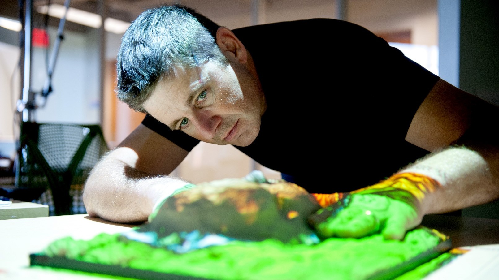
Douglas Shoemaker shares his ecological perspectives while working at NC State’s Center for Geospatial Analytics. Using what he calls “an ecosystem services lens” he explores and quantifies linkages between human and environmental systems, analyzing resource and sustainability concerns.